Atmosphere
The atmosphere contains a mixture of gases in a layered structure that surrounds the planet. The oxygen-rich atmosphere supports life on Earth, acts as a shield to greatly reduce the amount of harmful ultraviolet (UV) radiation from the sun, and prevents extreme differences between daytime and nighttime temperatures. Changes to atmospheric gases and particles, clouds, incoming and outgoing UV and longwave radiation, and to the ozone layer contribute to changes in global and local atmospheric and oceanic circulation patterns and climate change.


 ARM Data Center
 ARM Translator Group
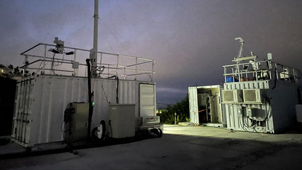
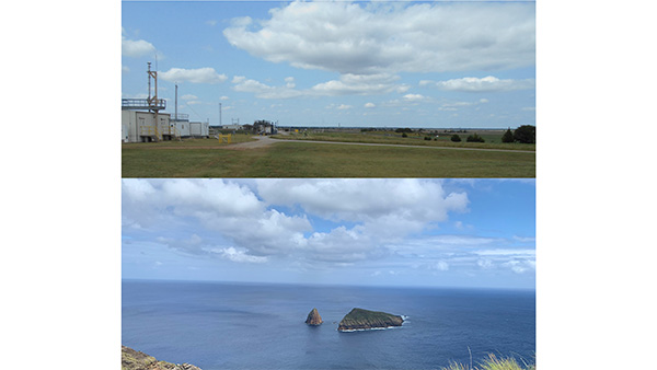
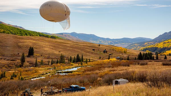 Atmospheric Radiation Measurement (ARM) User Facility
 Cloud Processing of Carbonaceous and Supermicron Aerosol
 Multiscale Models to Advance the Understanding of Liquid-Phase Cloud Response to Aerosol Perturbation Over Ocean and Land with ARM Data
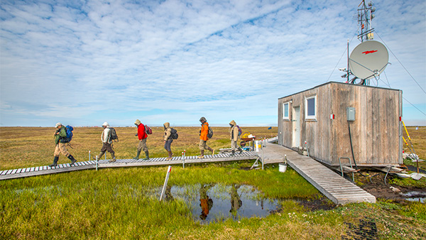 NGEE Arctic: Next Generation Ecosystem Experiments - Arctic
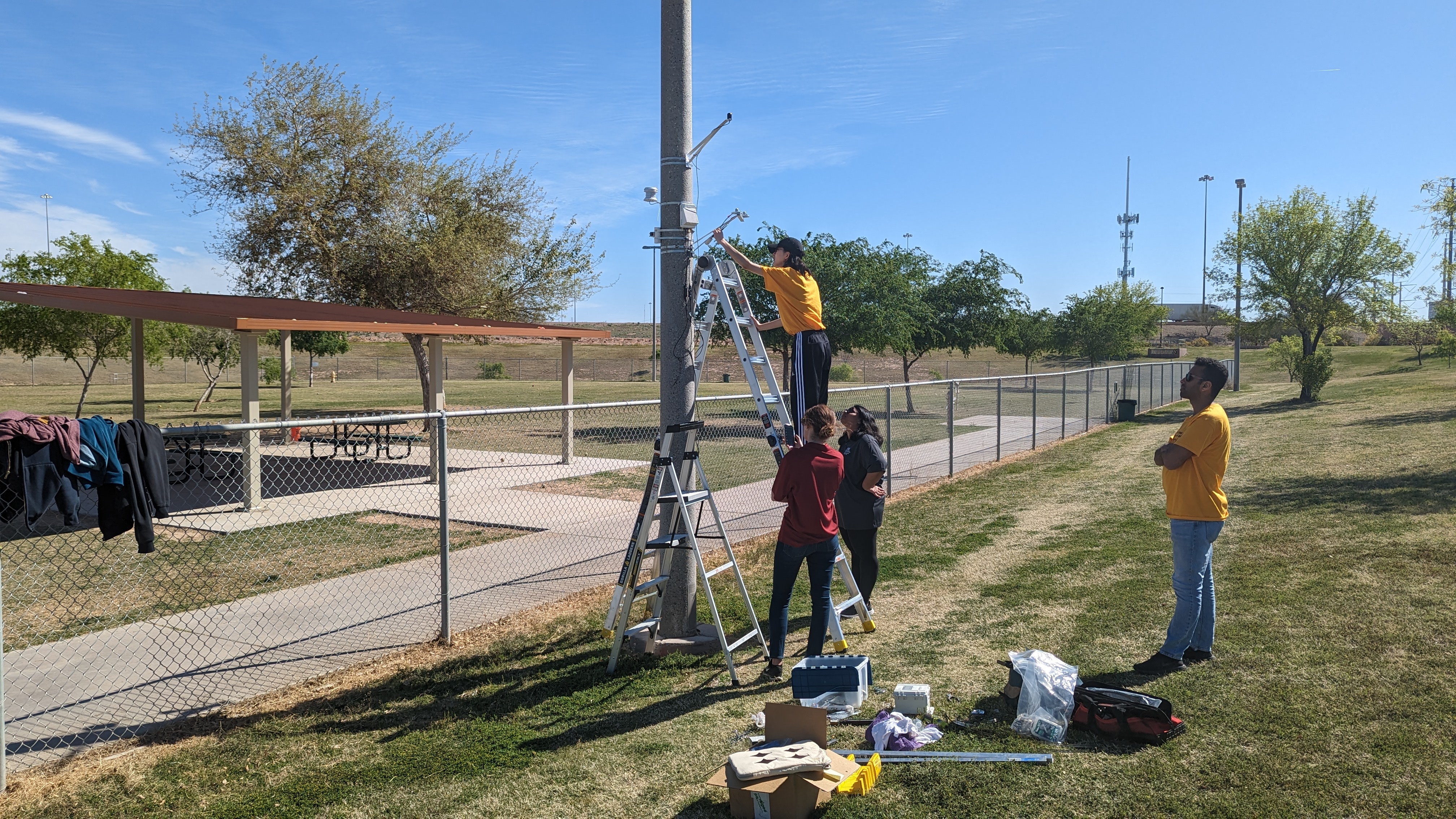 SW-IFL: Southwest Urban Corridor Integrated Field Laboratory
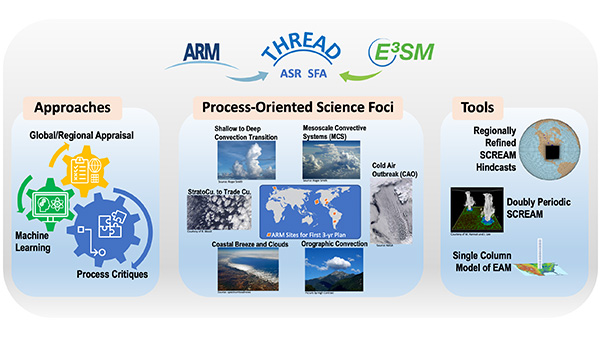 THREAD: Tying in High Resolution E3SM with ARM Data
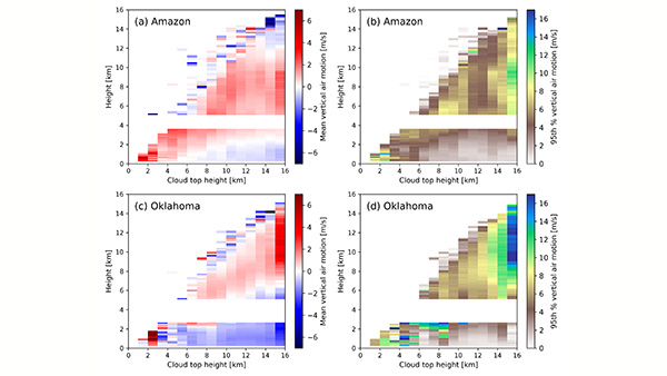 Understanding Deep Convective Cloud Kinematic Processes and Their Responses to Aerosols