

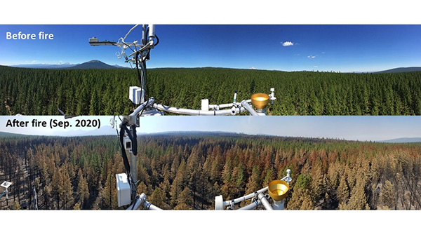
 AmeriFlux Management Project
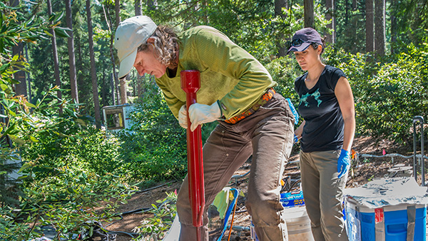 Belowground Biogeochemistry
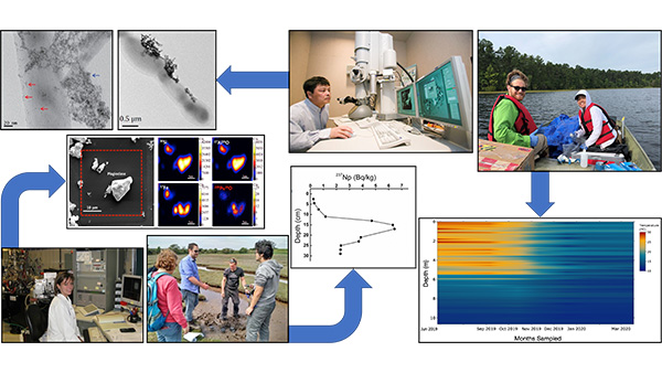
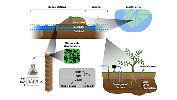 Biogeochemical Controls on Phosphorus in Urban-Influenced Coastal Ecosystems
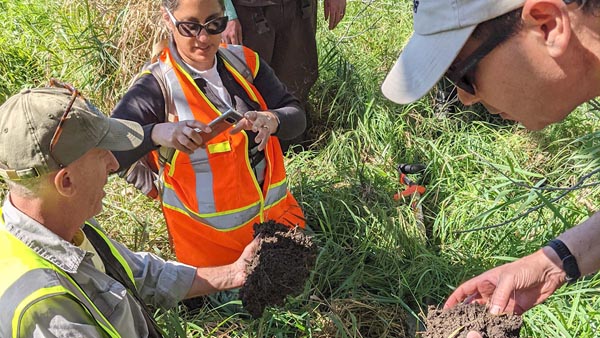
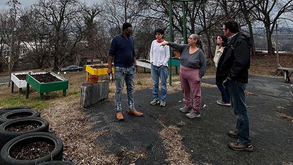 Biogeochemical Cycling at the Urban Interface
 BioGeoChemistry at Interfaces
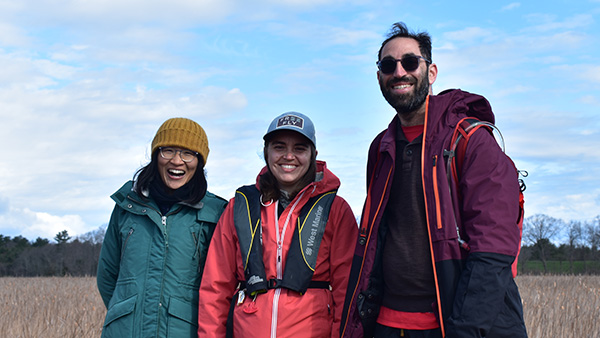
 COMPASS-FME: Coastal Observations, Mechanisms, and Predictions Across Systems and Scales (COMPASS) Field, Measurements, and Experiments (FME) Pilot Study
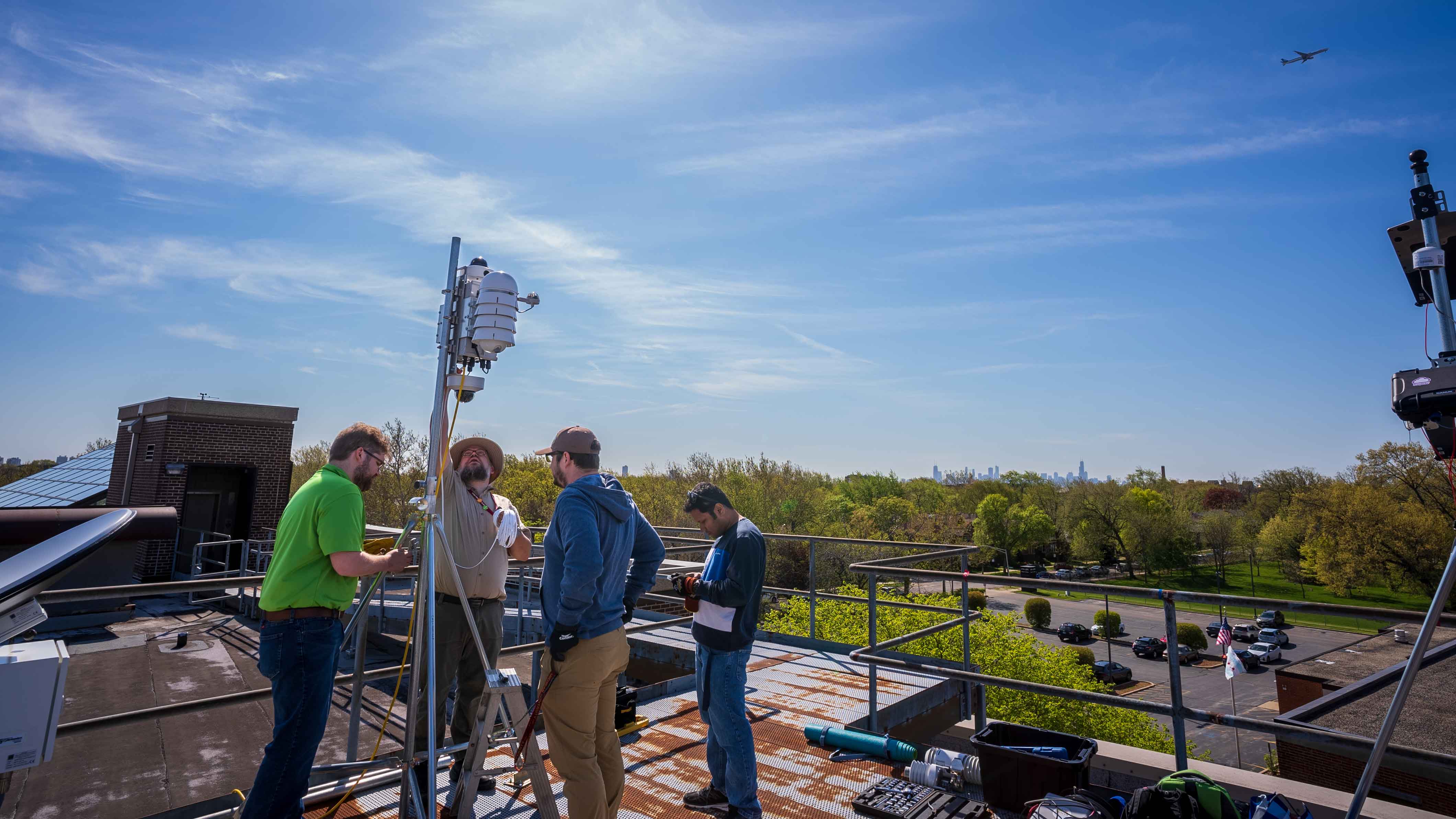 CROCUS: Community Research on Climate and Urban Science
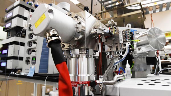 EMSL: Environmental Molecular Sciences Laboratory
 ESGF2: Earth System Grid Federation 2
 FACE-MDS: Free-Air CO2 Enrichment Model Data Synthesis
 IDEAS: Innovative Development in Energy - Related Applied Science - Watersheds
 iNAIADS: iNtegration, Artificial Intelligence Analytical Data Services for Rivers and Watersheds
 Multi-Watershed Perturbation-Response Traits Derived through Ecological Theory
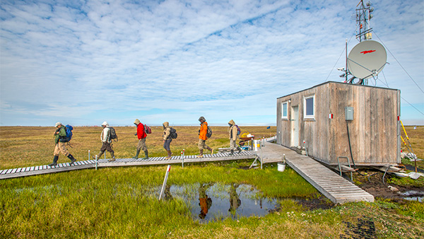 NGEE Arctic: Next Generation Ecosystem Experiments - Arctic
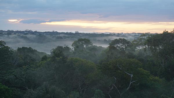 NGEE Tropics: Next Generation Ecosystem Experiment - Tropics
 Nitrogen Removal, Carbon Sequestration, and Greenhouse Gas Fluxes at the River-Land-Ocean Interface
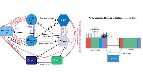 Probing Water Cycle Processes and Extremes in Coastal and Urban Environments Using Water Isotope Ratio Tracers and Numerical Tags
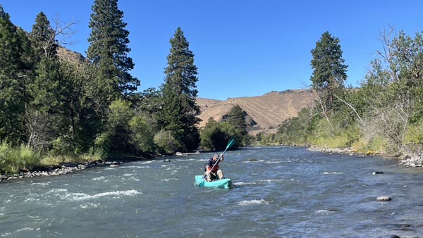 River Corridor SFA: River Corridor Hydrobiogeochemistry from Reaction to Basin Scale
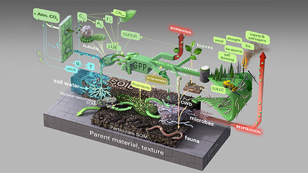
 RUBISCO: Reducing Uncertainties in Biogeochemical Interactions through Synthesis and Computation
 SETx: Equitable solutions for communities caught between floods and air pollution