

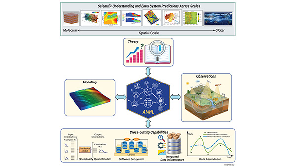
 AI4ESP: Artificial Intelligence for Earth System Predictability
 Cloud Processing of Carbonaceous and Supermicron Aerosol
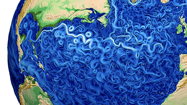
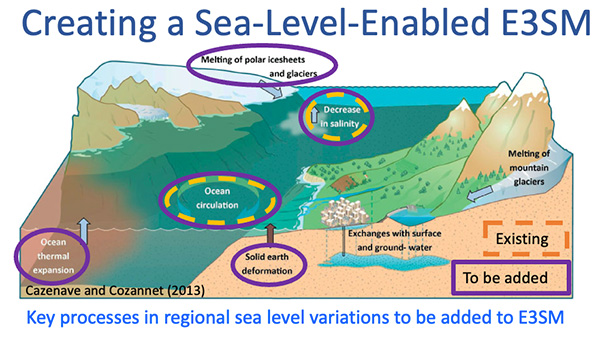 Creating a Sea-Level-Enabled E3SM
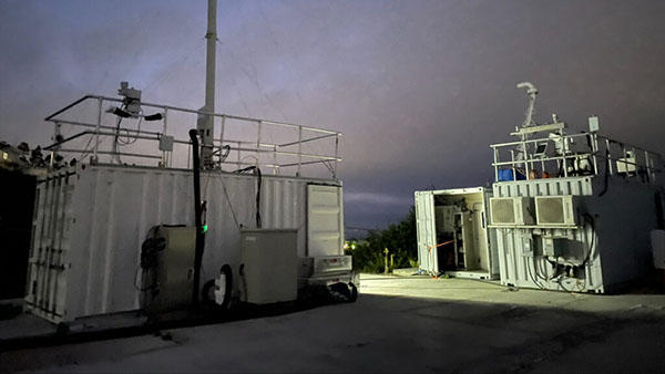
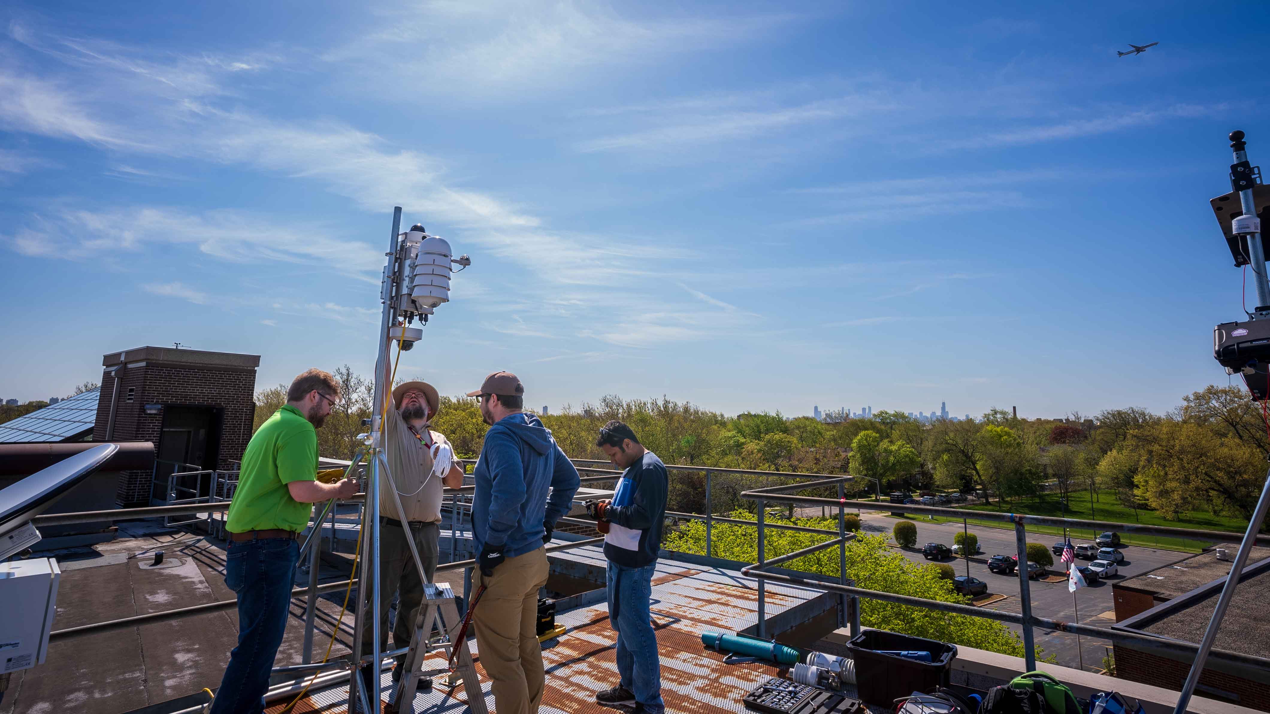 CROCUS: Community Research on Climate and Urban Science
 E3SM: Energy Exascale Earth System Model
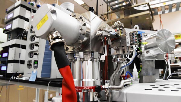 EMSL: Environmental Molecular Sciences Laboratory
 ESGF2: Earth System Grid Federation 2
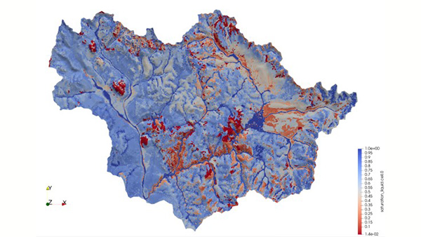 ExaSheds: Advancing Watershed System Science using Machine Learning and Data Intensive Extreme-Scale Simulation
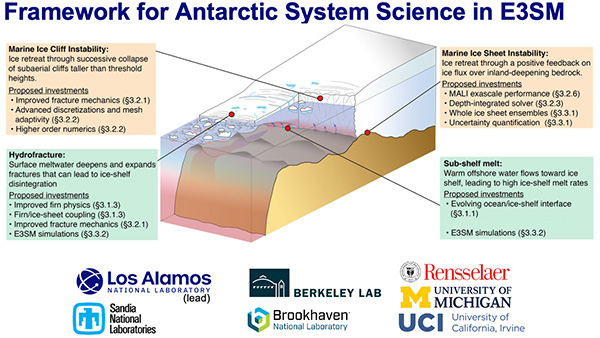 FAntSSIE: Framework for Antarctic System Science in E3SM
 IDEAS: Innovative Development in Energy - Related Applied Science - Watersheds
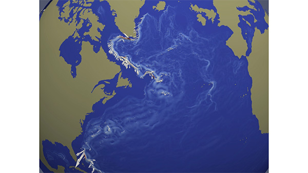 ImPACTS: Improving Projections of AMOC and Collapse Through Advanced Simulations
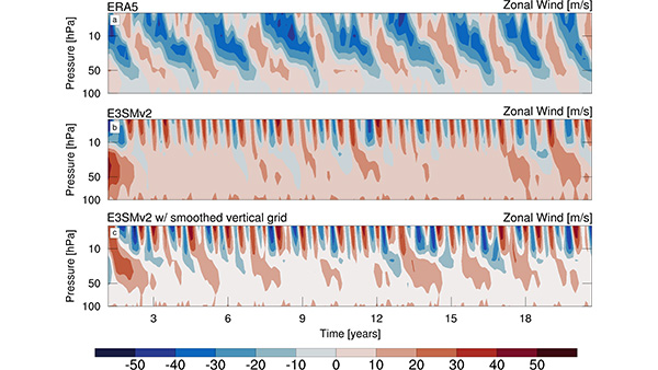 Improving the Quasi-Biennial Oscillation (QBO) through Surrogate - Accelerated Parameter Optimization and Vertical Grid Modification
 iNAIADS: iNtegration, Artificial Intelligence Analytical Data Services for Rivers and Watersheds
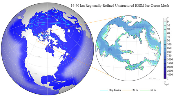 InteRFACE: Interdisciplinary Research for Arctic Coastal Environments
 MSD-LIVE: The MultiSector Dynamics – Living, Intuitive, Value-adding, Environment
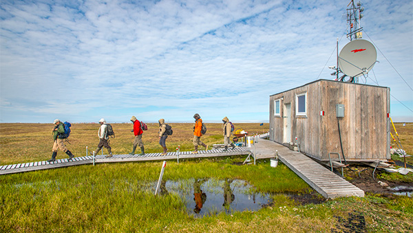 NGEE Arctic: Next Generation Ecosystem Experiments - Arctic
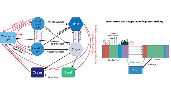 Probing Water Cycle Processes and Extremes in Coastal and Urban Environments Using Water Isotope Ratio Tracers and Numerical Tags
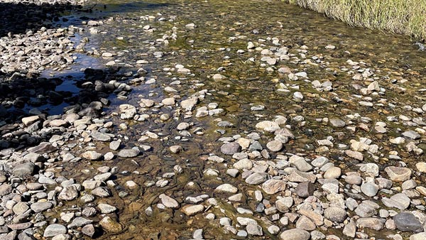
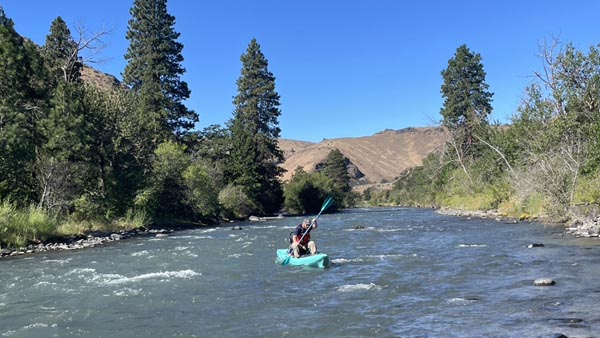 River Corridor SFA: River Corridor Hydrobiogeochemistry from Reaction to Basin Scale
 RUBISCO: Reducing Uncertainties in Biogeochemical Interactions through Synthesis and Computation
 SEATS: Simplifying E3SM Analysis Through Standards